Updated: 04/04/2018 – Replaced photos with newly edited high-resolution photos.
——————————————-
Photos published are available in high resolution (RAW format). Videos are typically available in full-HD or higher (4K). If you are interested in a purchase, please see this page
——————————————-
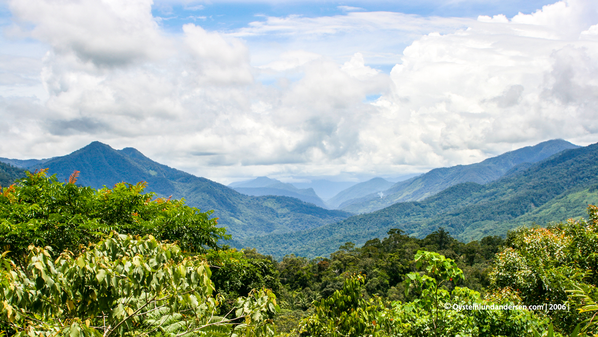
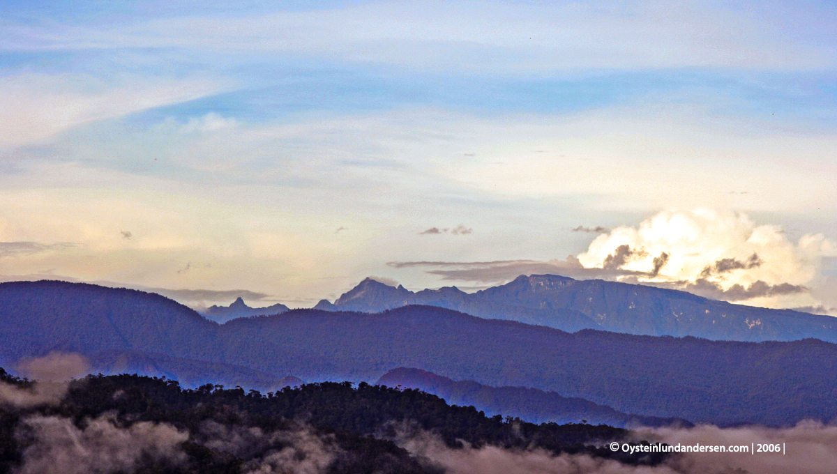
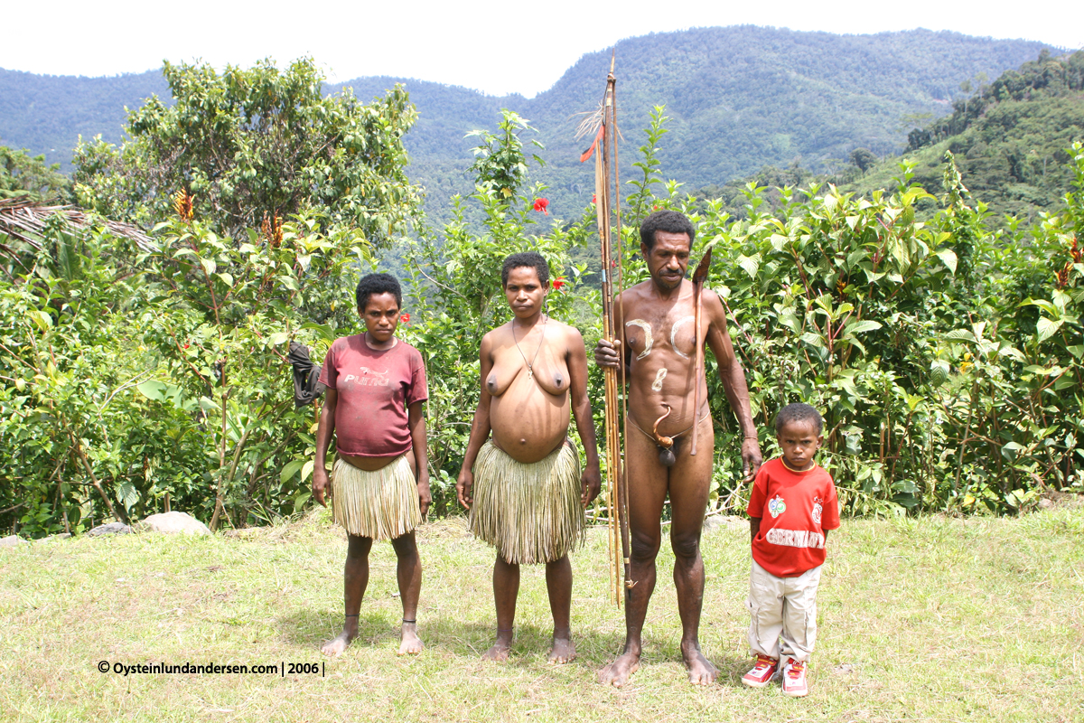
The Ketengban people inhabit an area on the north-eastern side of the central mountain range in the IndonesianProvince of Papua, on the island of New Guinea. They live in an elevation varying from 6500feet in the mountainous region to 1500 feet in the northern hills and number between 12000-14000 people.
Ketengban language has been classified as Papuan stock and part of the Mek family in the Trans new guinea phylum. There are four different dialects: the Central, Eastern, Western and North-eastern, though all are mutually intelligible.Bounded in the east by Eipomek and the Mek Language, to the west by Apmisibil and the Nggalum language, and to the northwest bordering the less inhabited lowlands, were people speak the more unknown Lepki and Yetfa languages.
2006
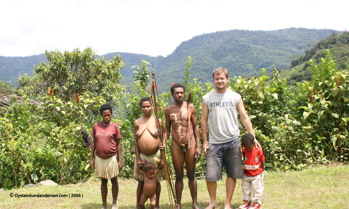
In 2006 I did 1 month of research in the greater Nongme area, focusing on the borderlands to the Lepki tribe. My goal was to gather information about the contact between the Ketengban living in this area, with the Lepki tribe. Unfortunatly an ongoing dispute between these two tribes made the study rather difficult, however I managed to come to a basic understanding. In 2007 I continued my study on the Lepki, but due to the conflict I learned about on this trip, I decided to approach the area from the north, rather from the Ketengban territory.
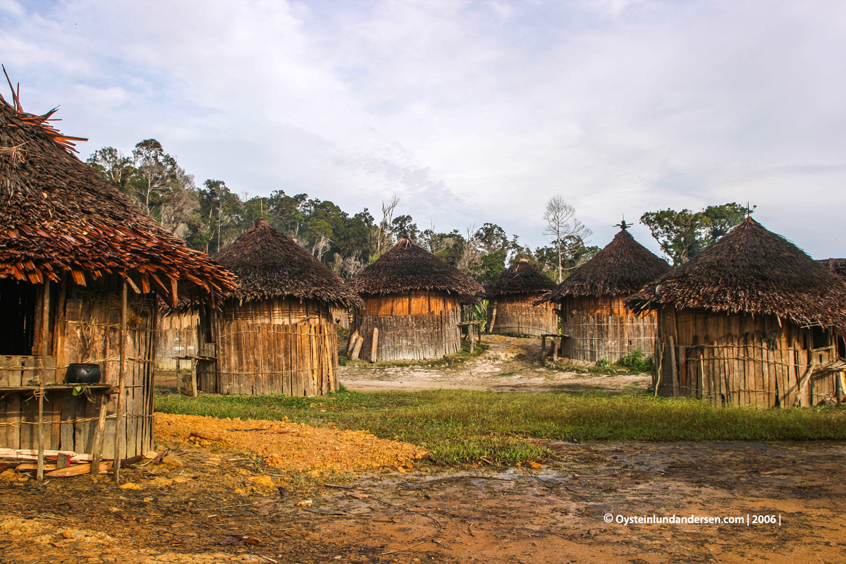
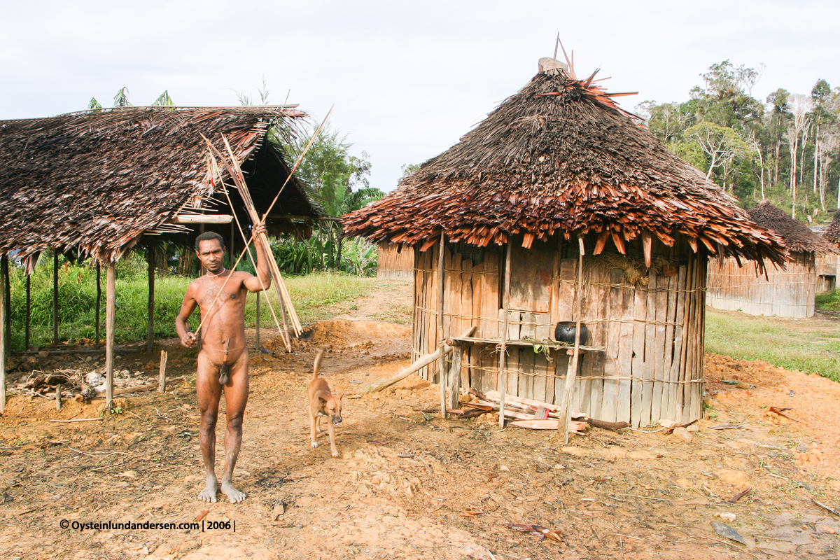
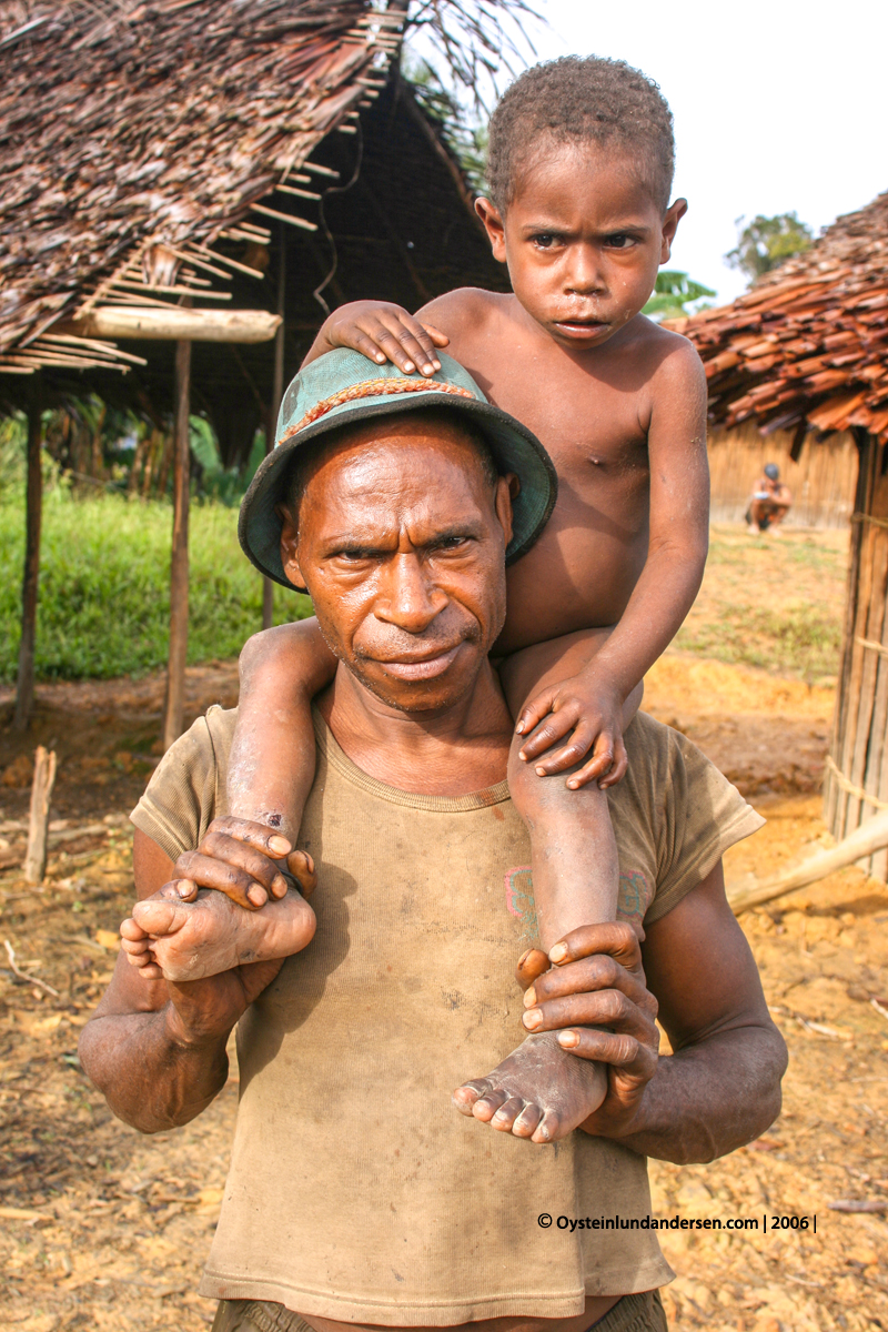
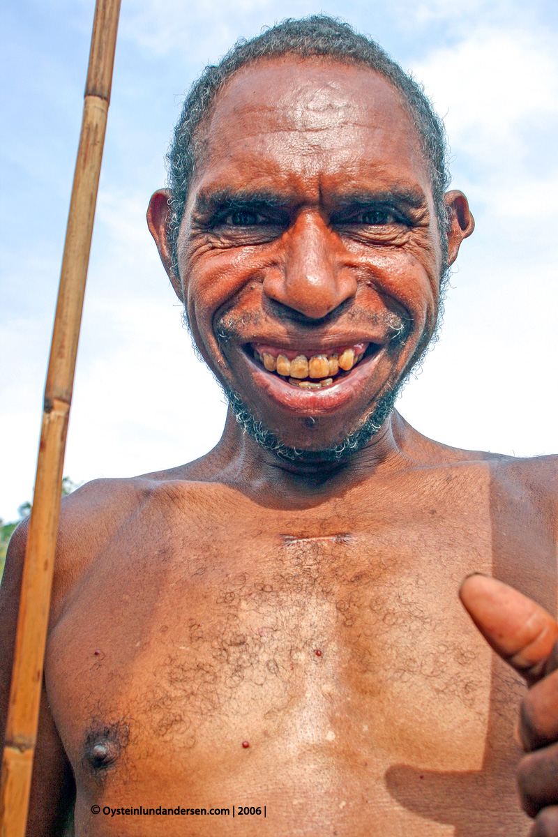
These are some photos from the Ketengban area:
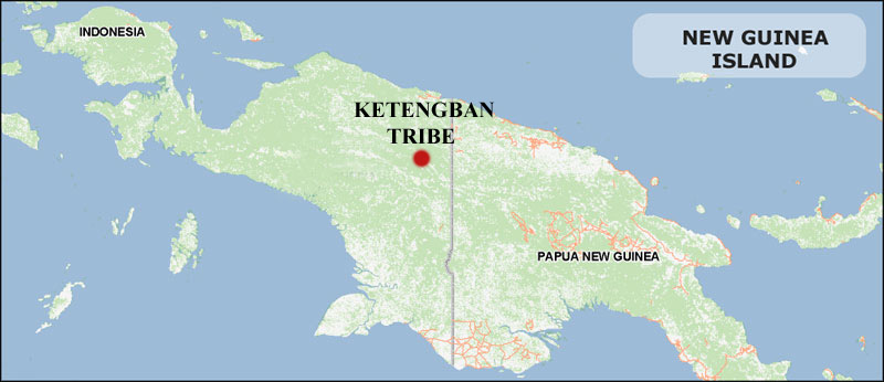
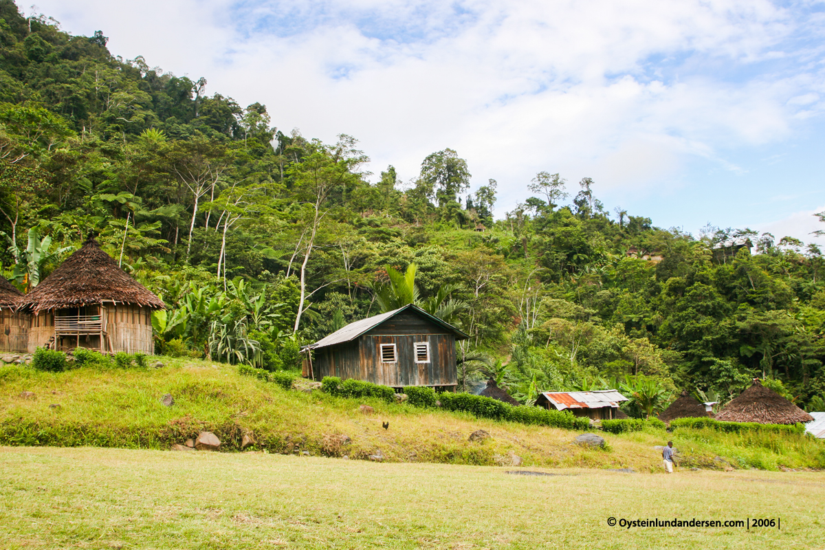
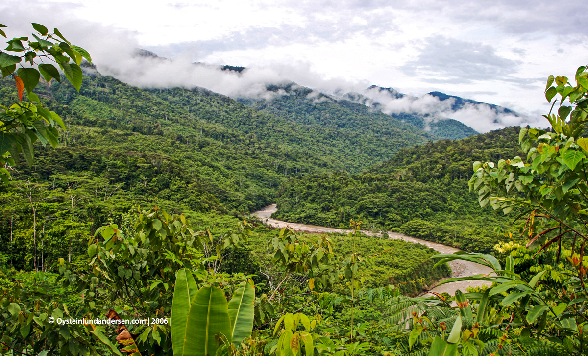
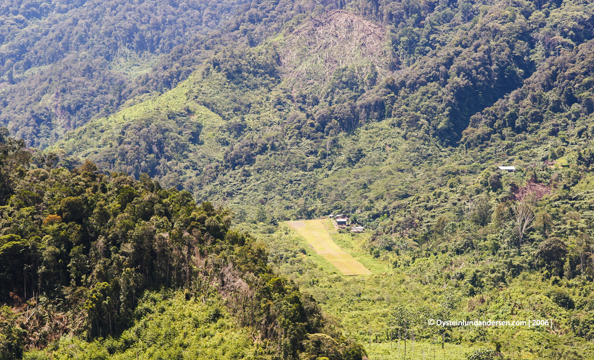
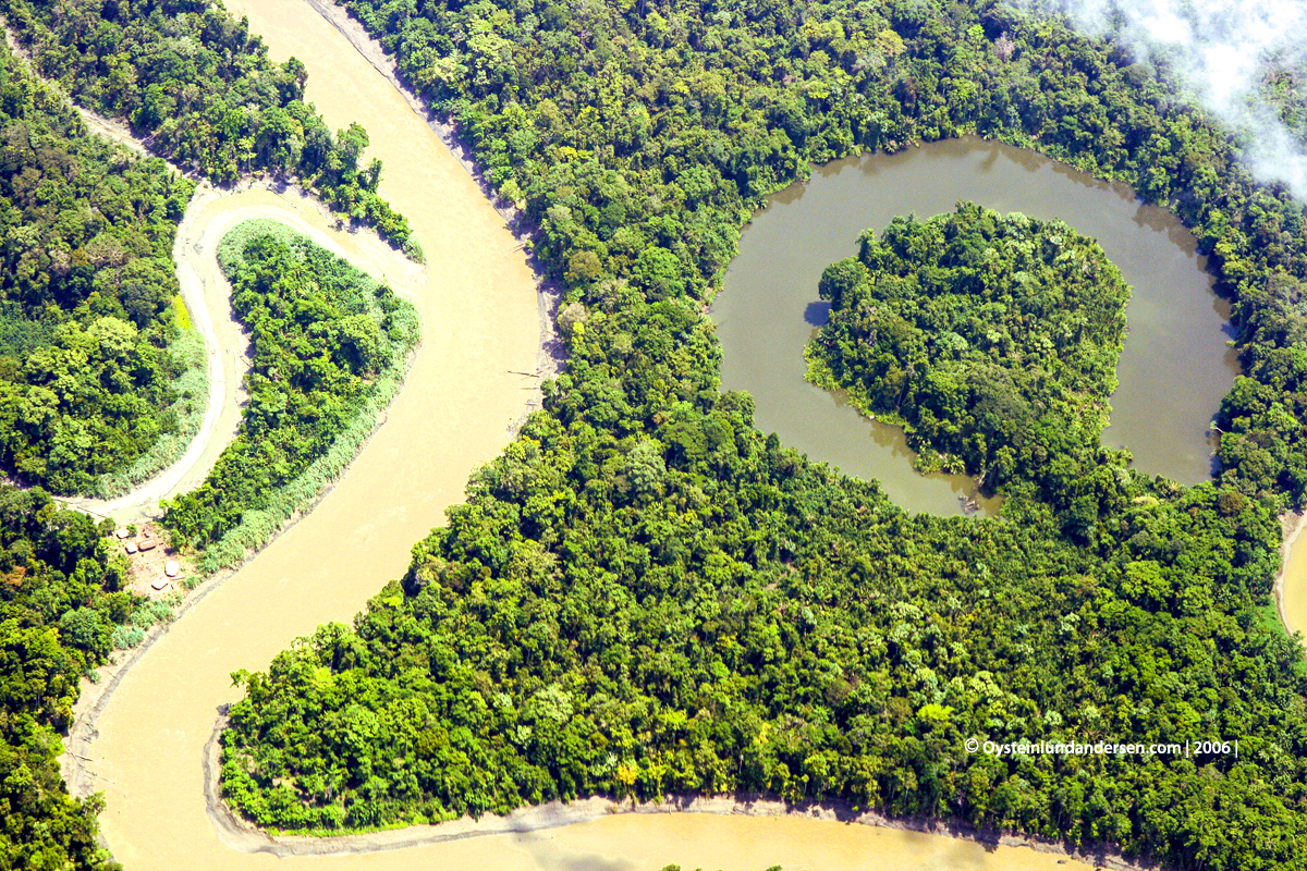
Before reaching the mountains in the Nongme region we flew over the northern large lowland forest that stretches between Jayapura to the Ketengban tribal area, here we start to see the hilly region leading to the central highlands.
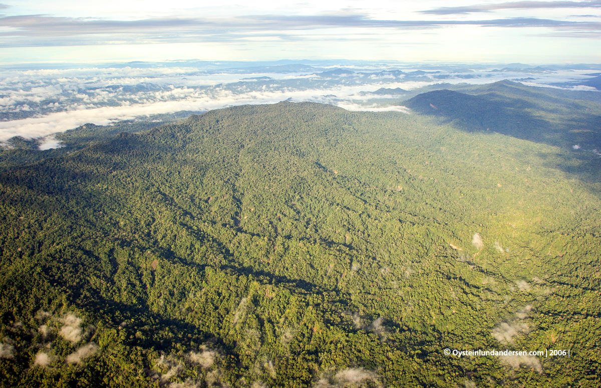
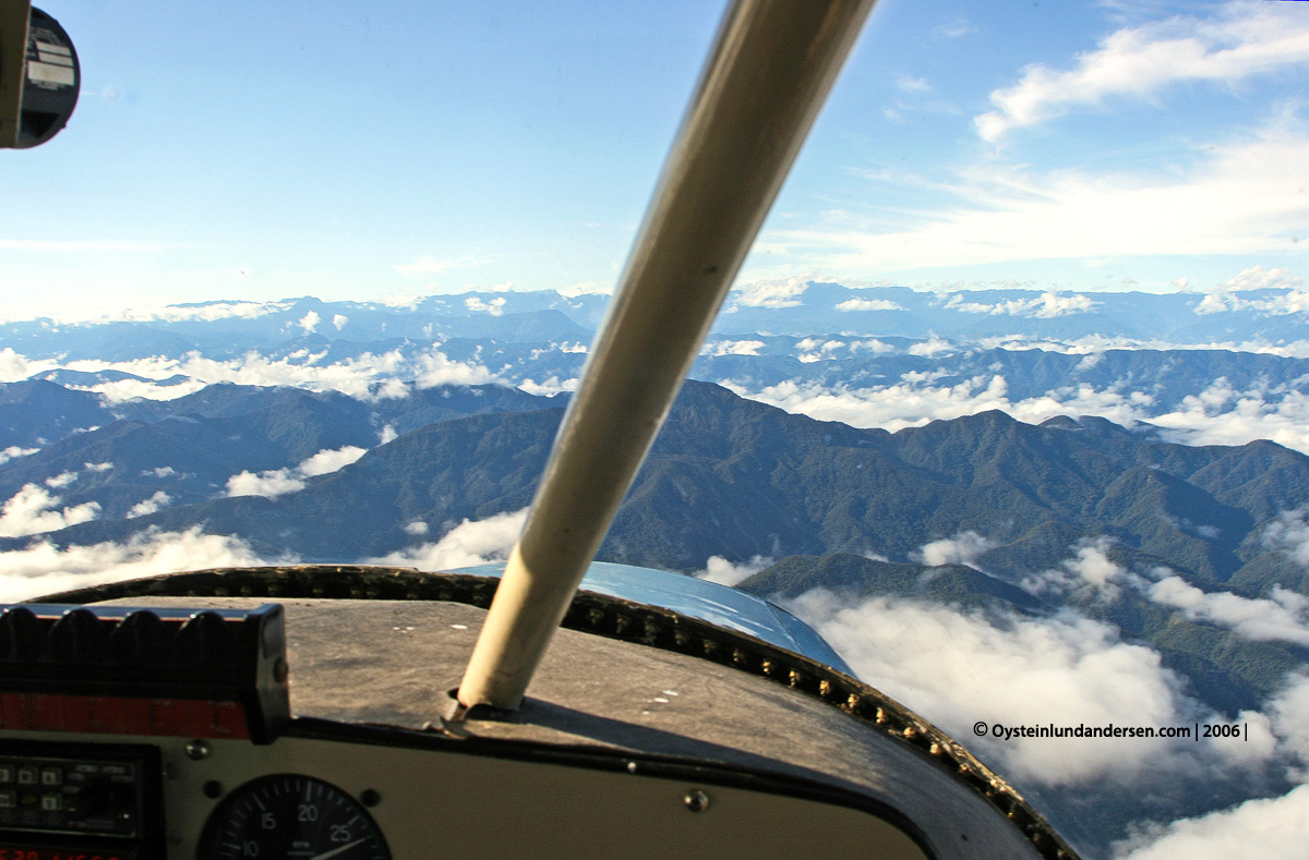
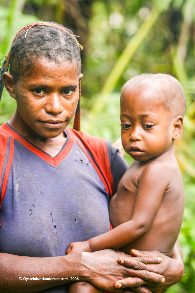
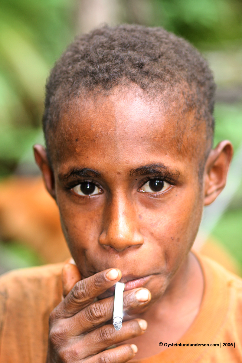
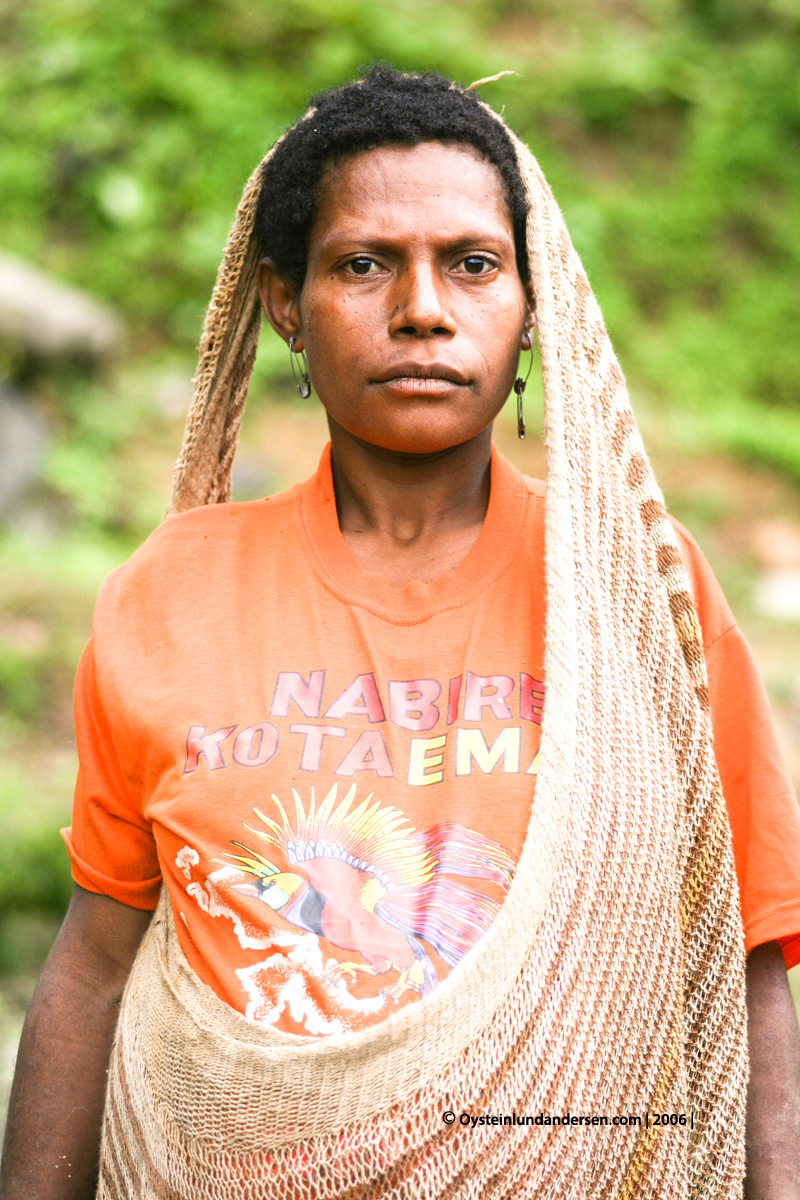
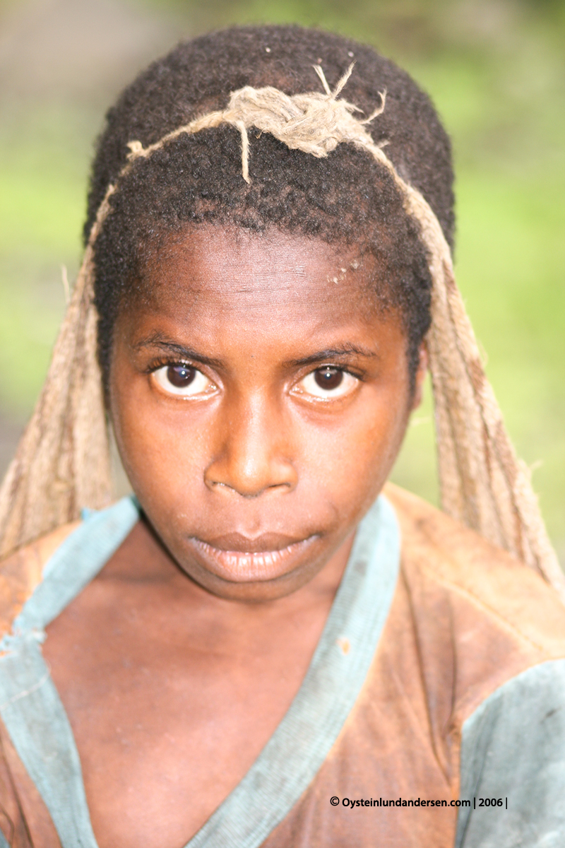
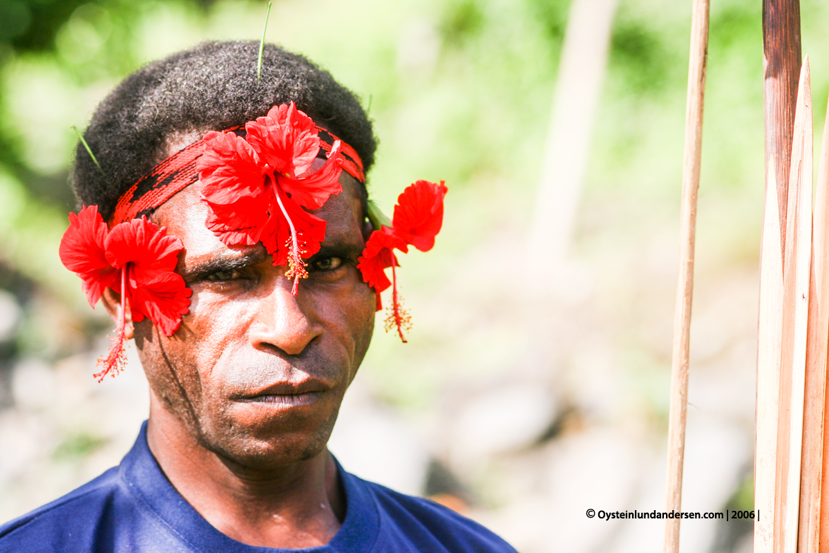
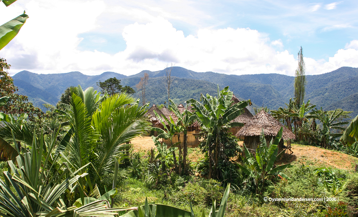
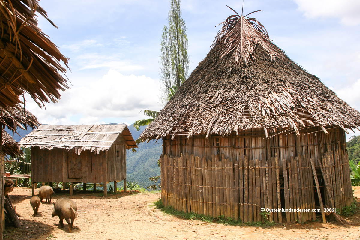
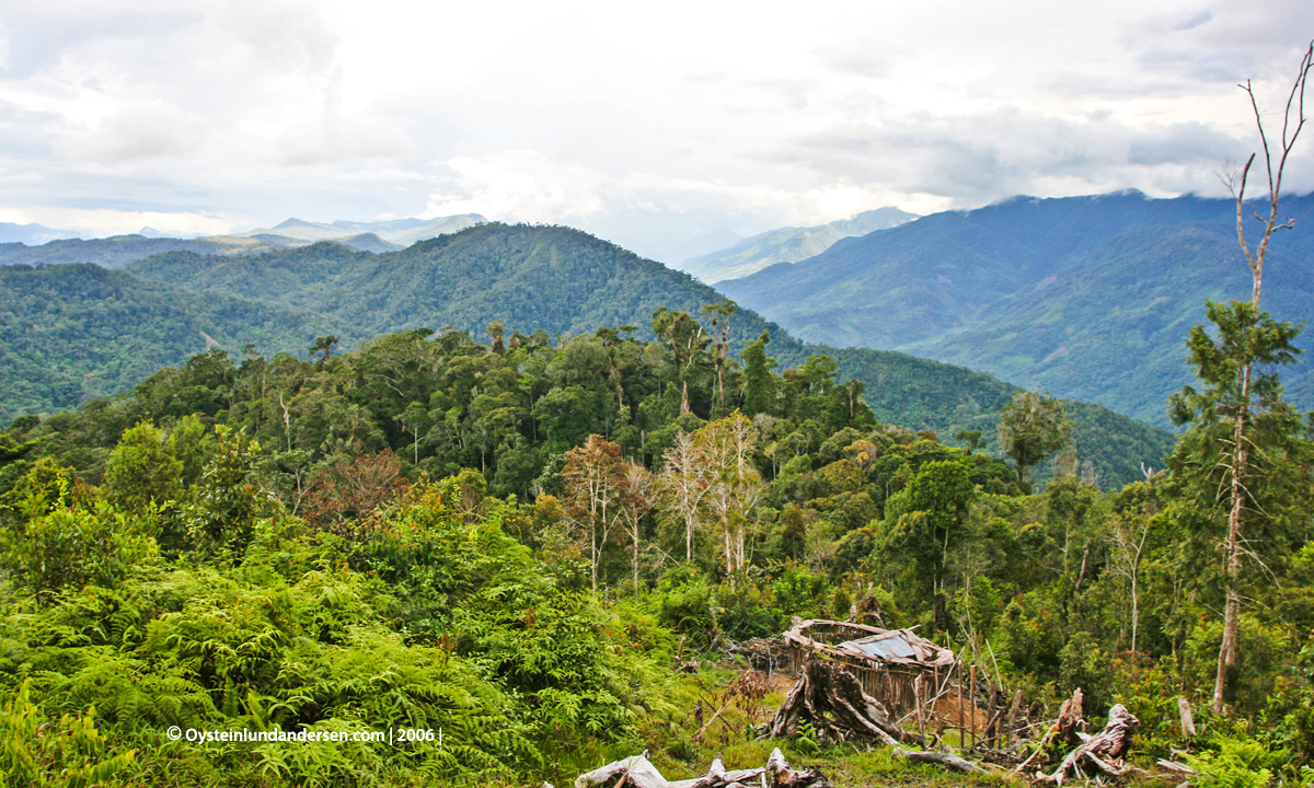
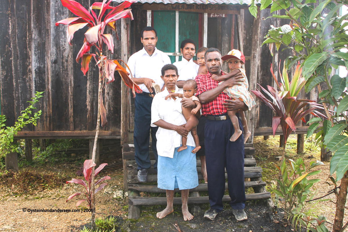
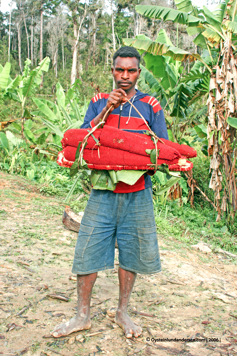
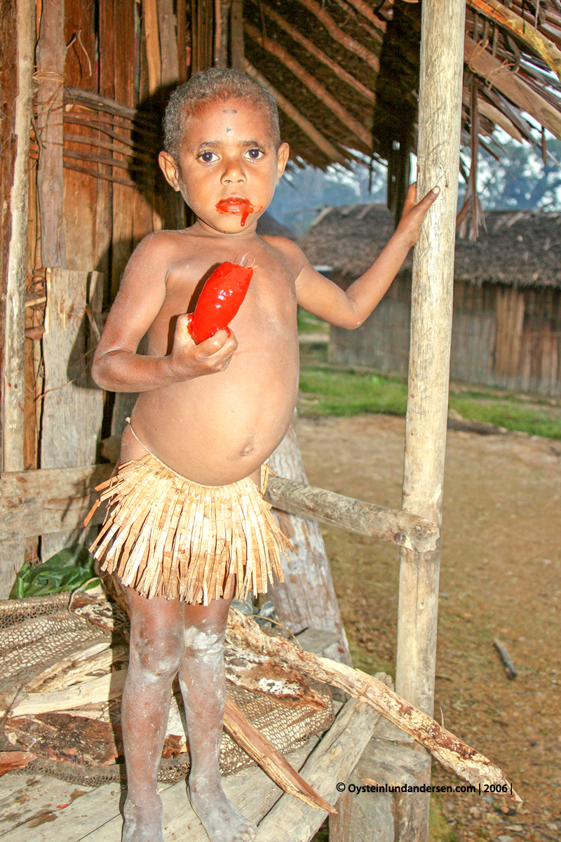
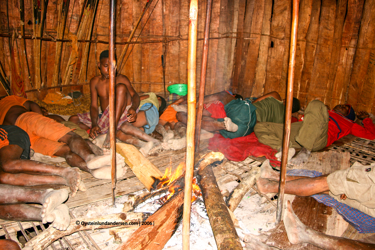
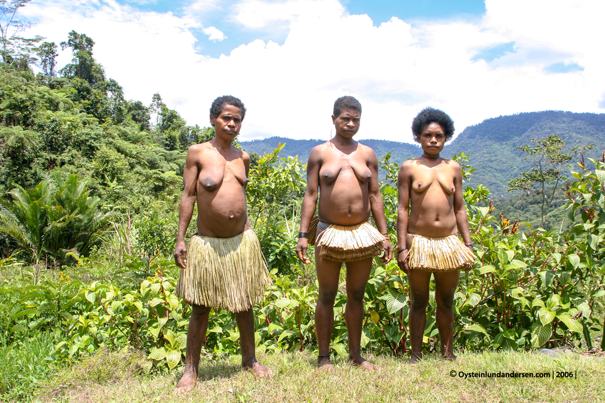
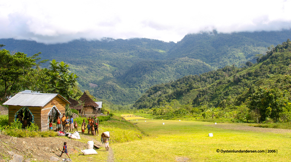
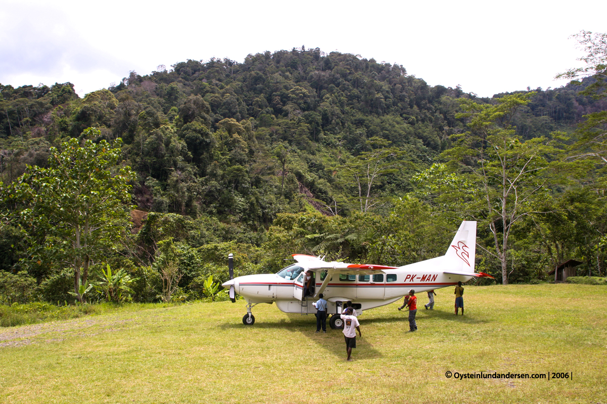
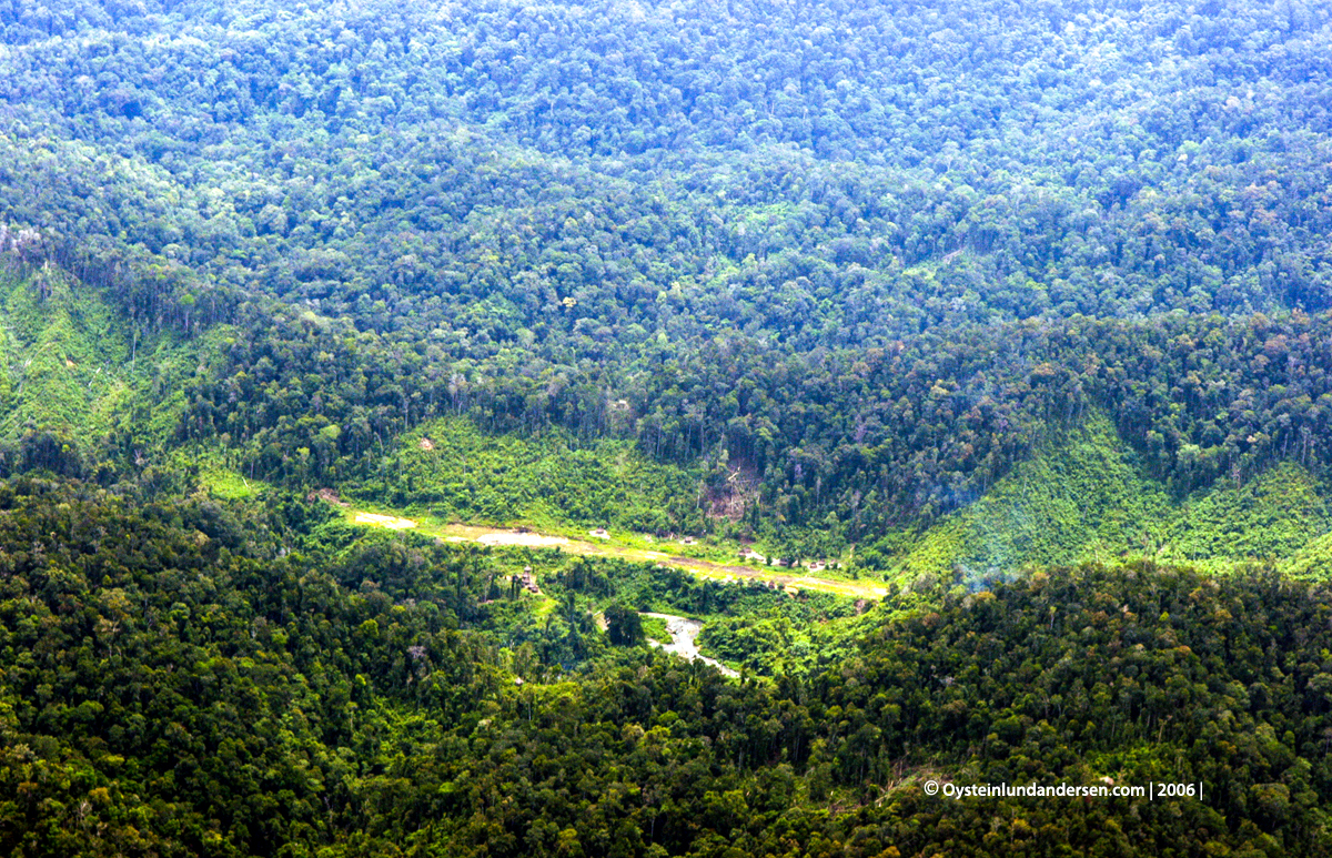
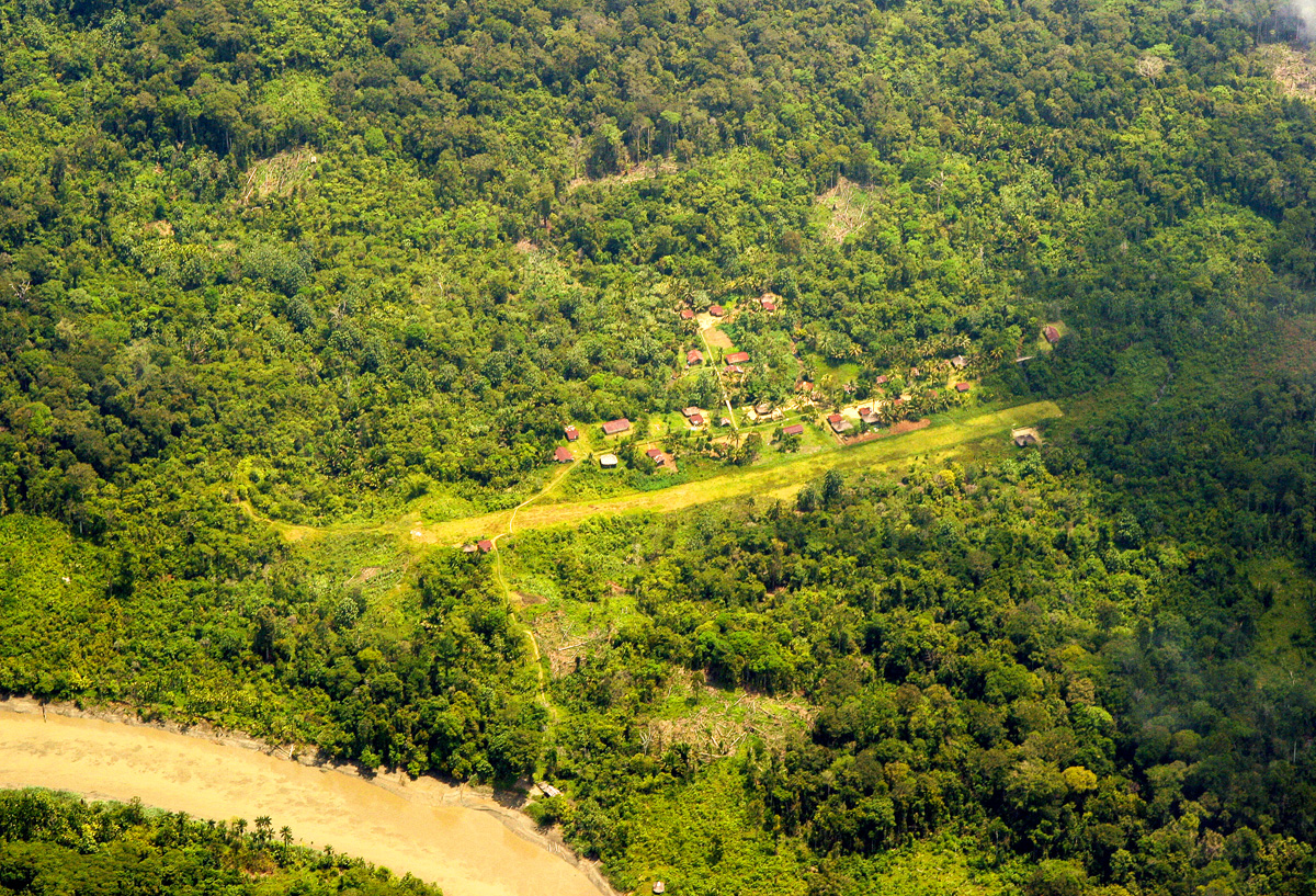
The mountains of the central-highlands and the Nalca region ahead. Landing in 10minutes.The Yayasi cessna departing Nalca again, returning to Jayapura. (PK-UCA) (Update 2017: PK-UCA was YAJASI’s first aircraft, and it flew over 1.7 million nautical miles during its 36 years of service. Now retired. )Nongme airstrip after arrival.Houses in Nongme. There was a mix between modern housing and traditional houses here.River below the settlement of Nongme.Not the most secure bridge to cross..Mother and child in NongmeNongmeNongmeNongmeBy a river in NongmeNongmeNongmeNongmeNongmeNongmeNongme seen from the settlement of UruboolThe valley where the settlement of Nongme and Urubool is located.UruboolUruboolOutskirts of Umtambor villageUmtambor village. Almost only traditional buildings here, except one church.Man in traditional wear in Ketengban.UmtamborKids in traditional wear for girls. Umtambor.UmtamborMy curiocity was equal to his. When doing fieldwork, meeting with curious people almost always ment good friendship where we could learn from eachother. The Papuans I found, also have a great humor, even tough I didnt always understood the language. Here I was showing the live-screen on my camera and we both had fun.The priest`s family, they wished to have their photo taken in front of their newly buildt church-building.Young adult with redfruit from the Pandanus palm.Girl eating potato mixed with redfruit from the Pandanus palm.UmtamborUmtamborMountain from the east of UmtamborA man I met in Nongme who had walked all the way from Nalca, in the Mek region. He belonged to the Mek tribe. It took him days to get to Nongme.Nongme.With a family I spent much time with in Nongme. This photo was taken on the day I was set to leave Nongme.Nongme.Nongme.Nongme.Nongme.Departing Nongme with a Cessna Caravan from Mission Aviation Fellowship (MAF) (PK-MAN)New settlement outside Sekame. I trekked trough this area.The settlement of Sekame with their newly built airstrip. The airstrip, was built by the villagers in hope that it might be taken in use by the missionary airplanes. Im not sure if it has been taken into use today, or if it ever will.On the way to Jayapura, i flew over the Aurina 1 settlement, that I visited earlier in 2006.Scenic part of Nawa river, shows how parts of a river may be cut out and watercurrents might find new fronts, changing the paths of a river. The horseshoe looking body of water is now obviously a lake, but it have once been part of this river.