6-9th July 2018
Published: 11th July 2018 (edited: 31th July)
Activity of the Volcano:
Eruptive activity at Agung have increased the first week of July, most notable was a eruption on the 2th July, that according to Indonesian Authorities (MAGMA) ejected lava bombs outside the summit crater up to distance of 2km and sent a ashplume up to 2km above the summit crater. The lava bombs ignited forest fires and made several hundred villagers evacuate their homes on the flank of the volcano, even tough there was no order from the authorities.
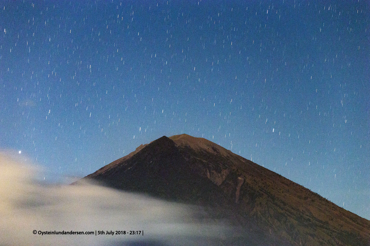
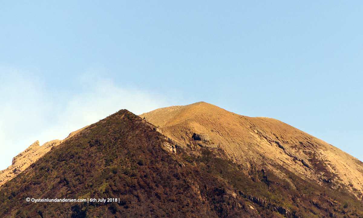
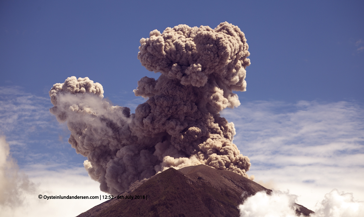
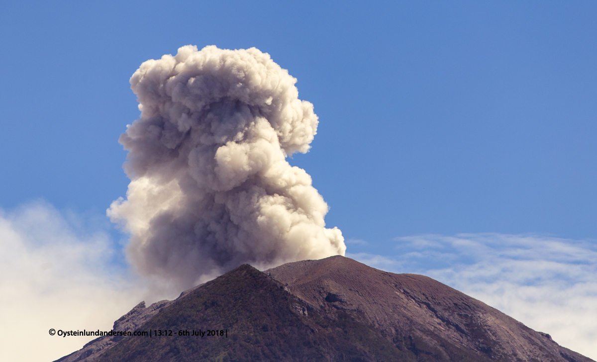
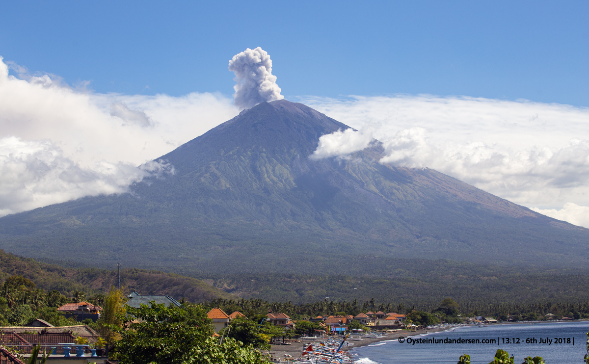
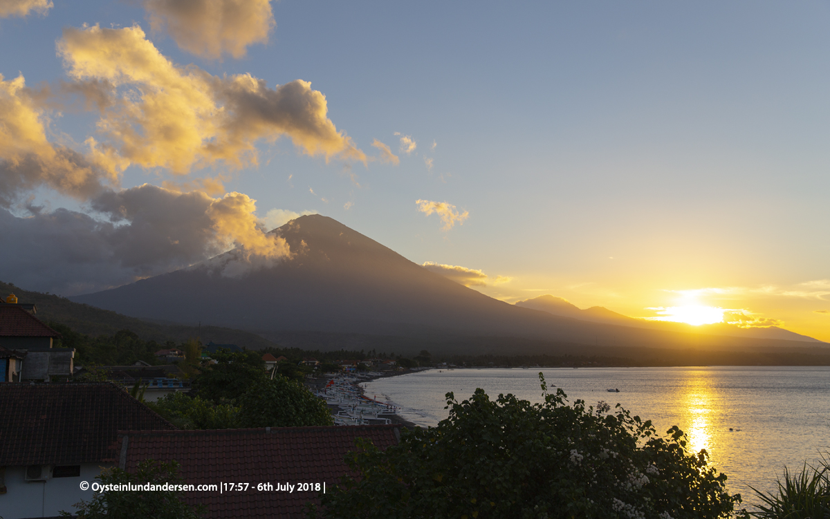
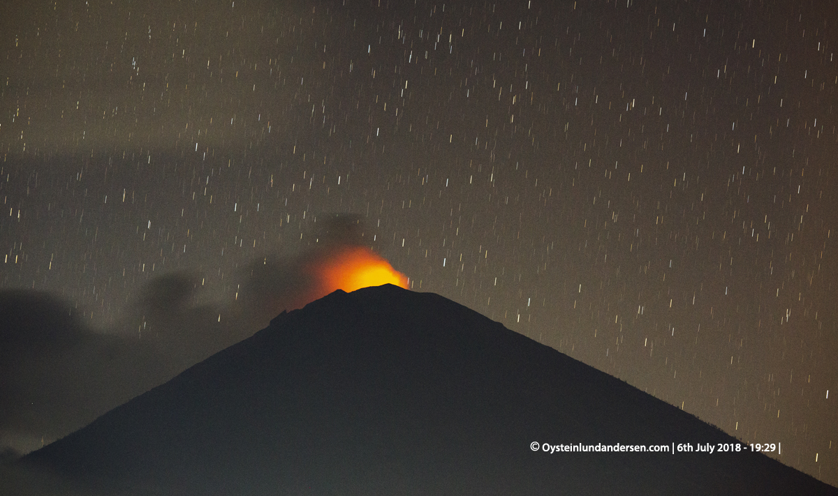
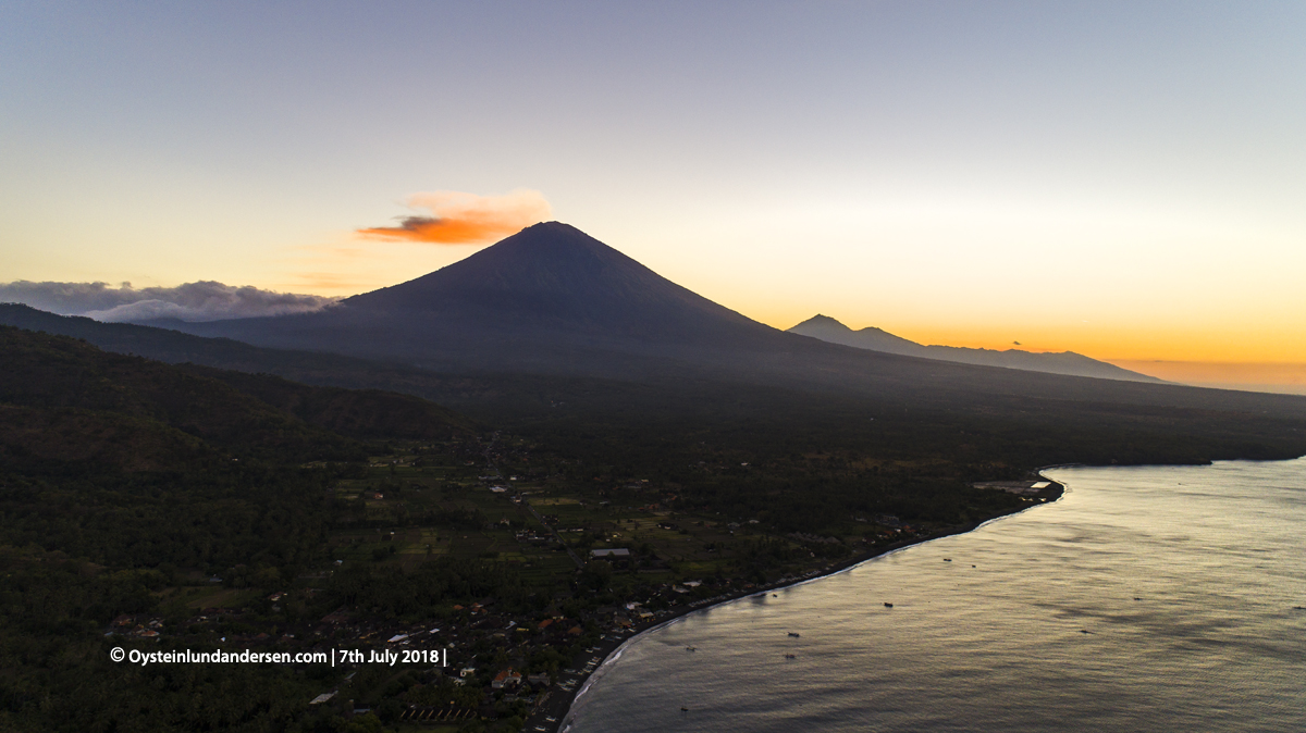
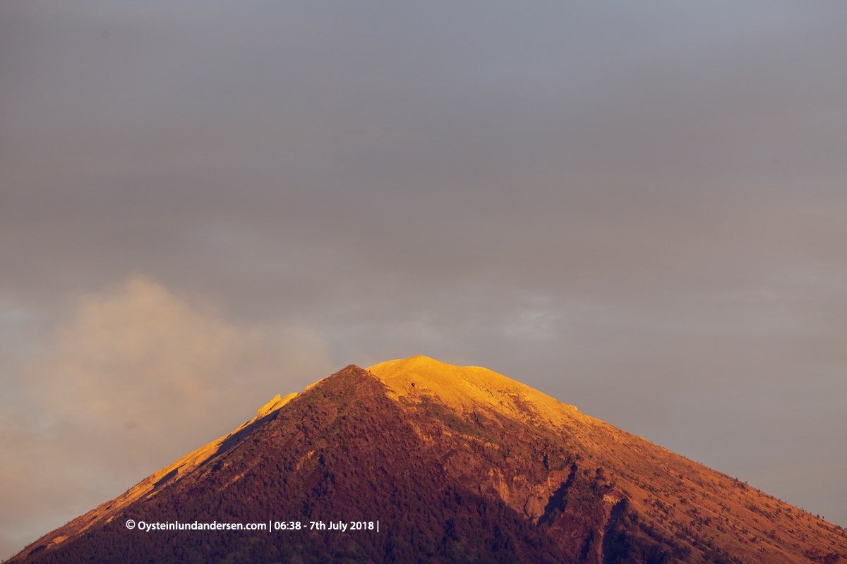
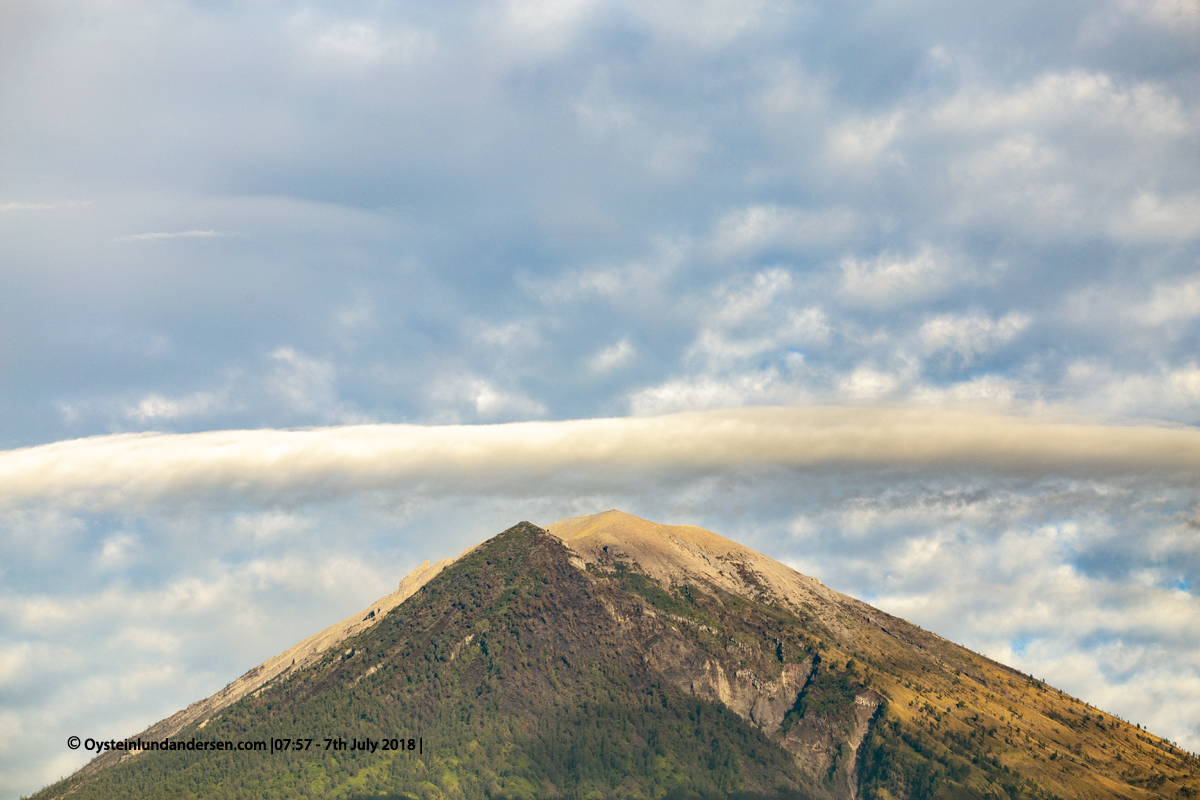
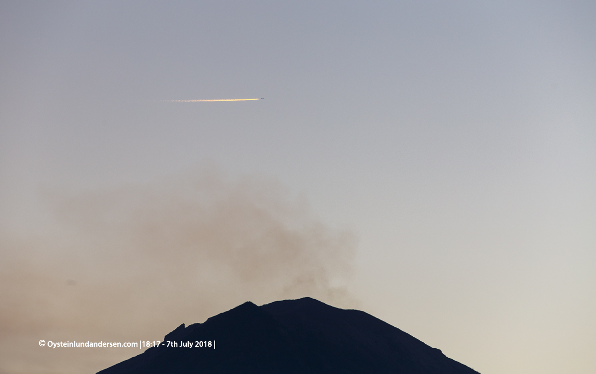
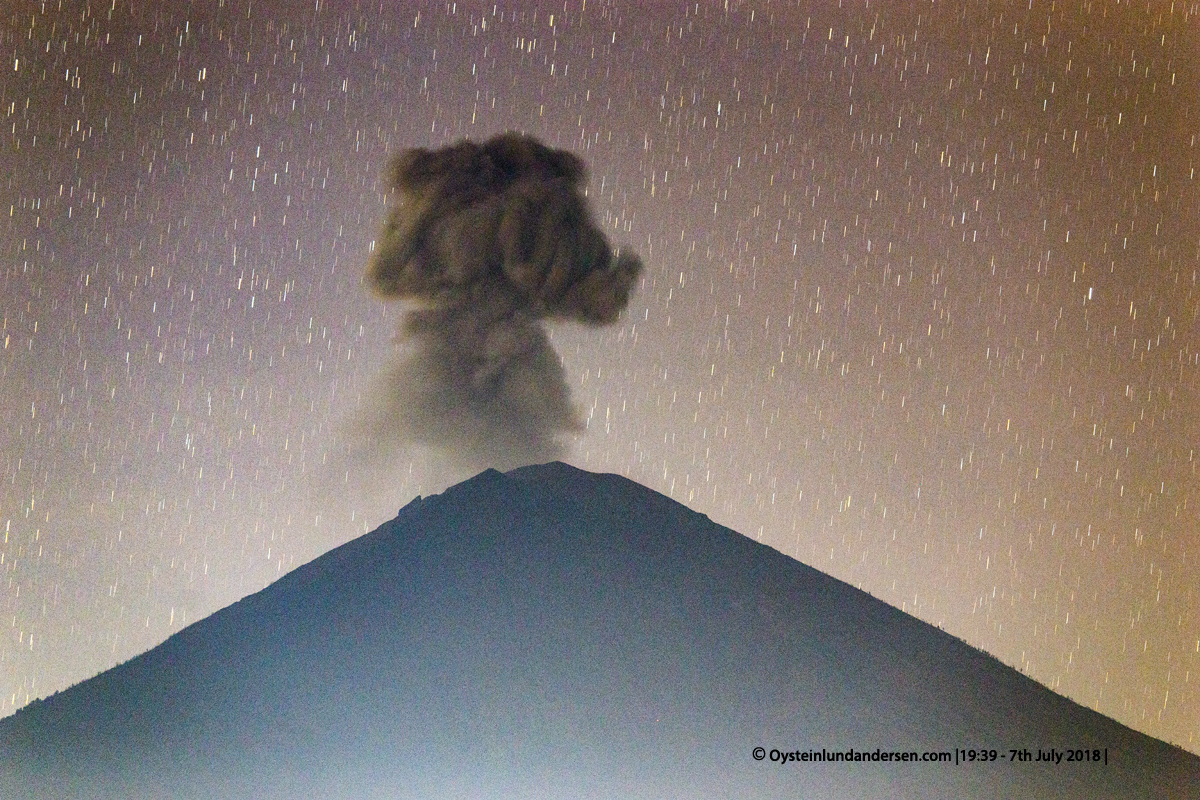
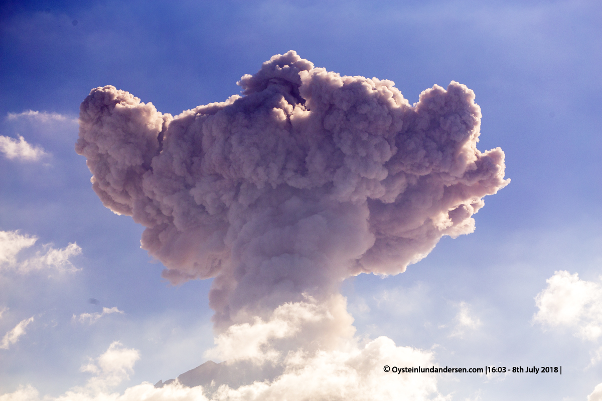
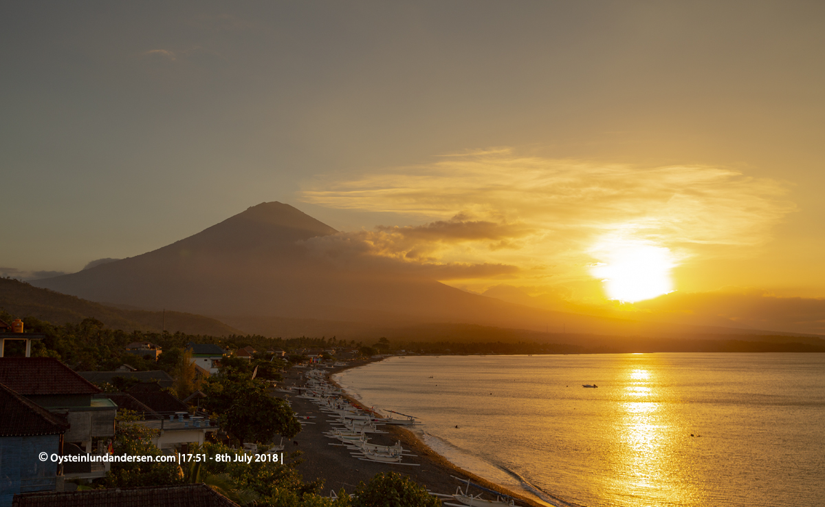
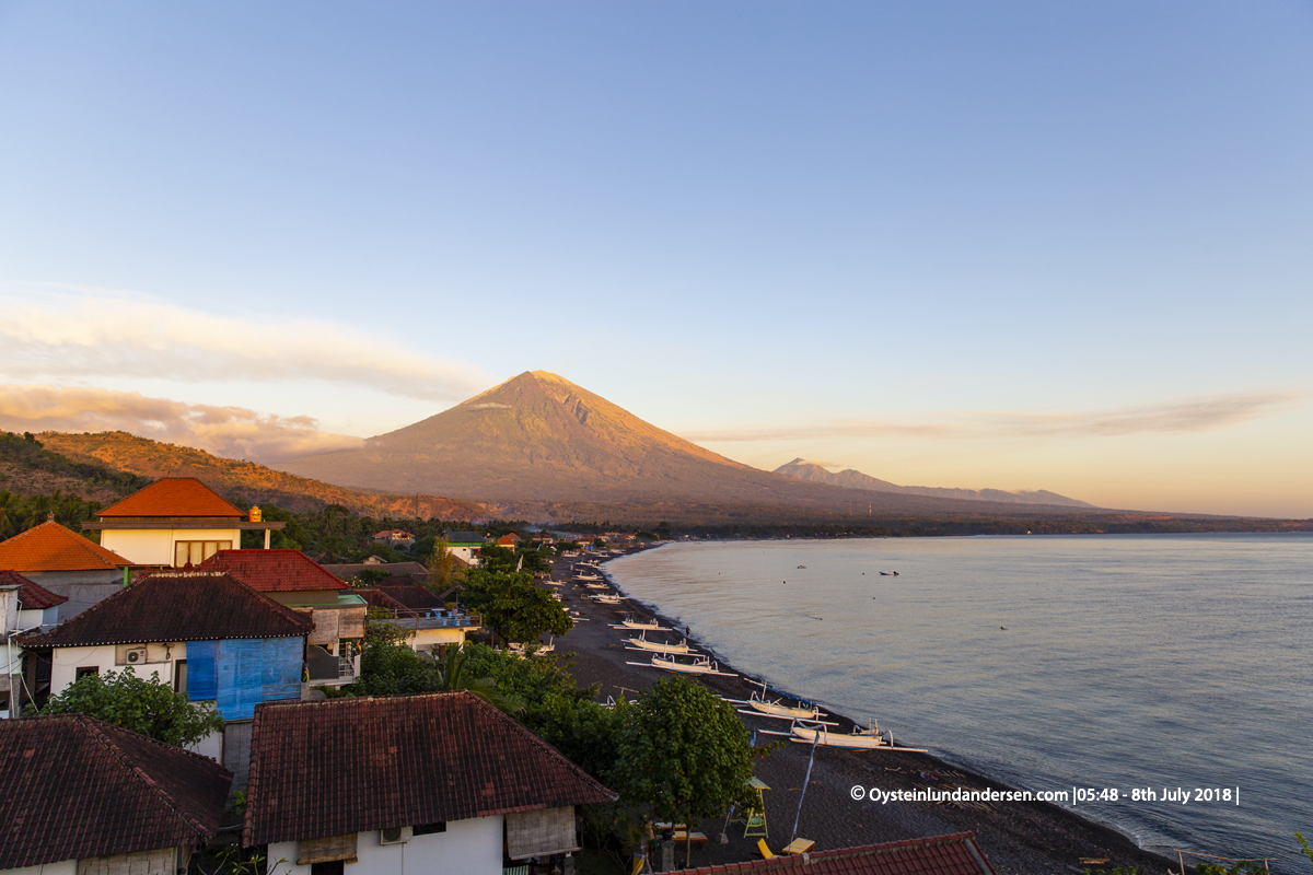
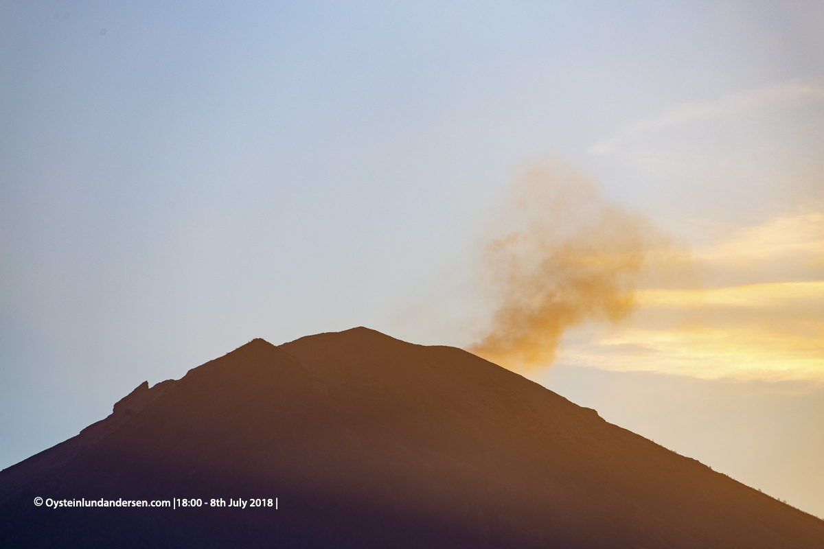
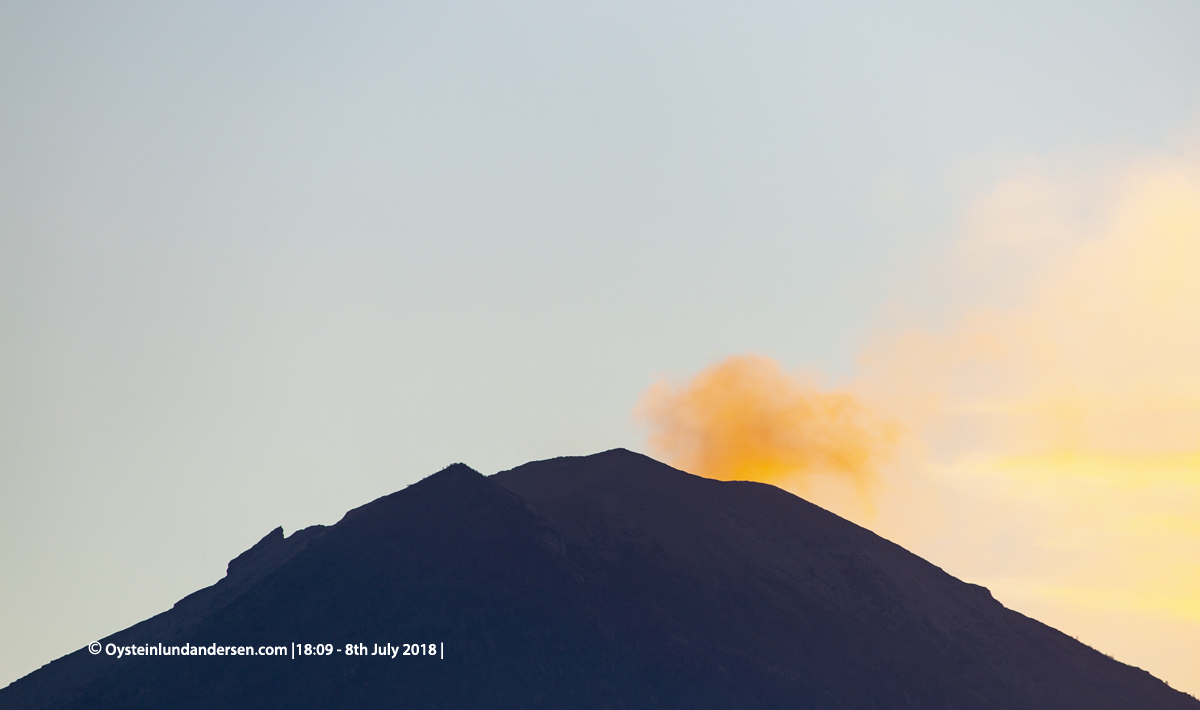
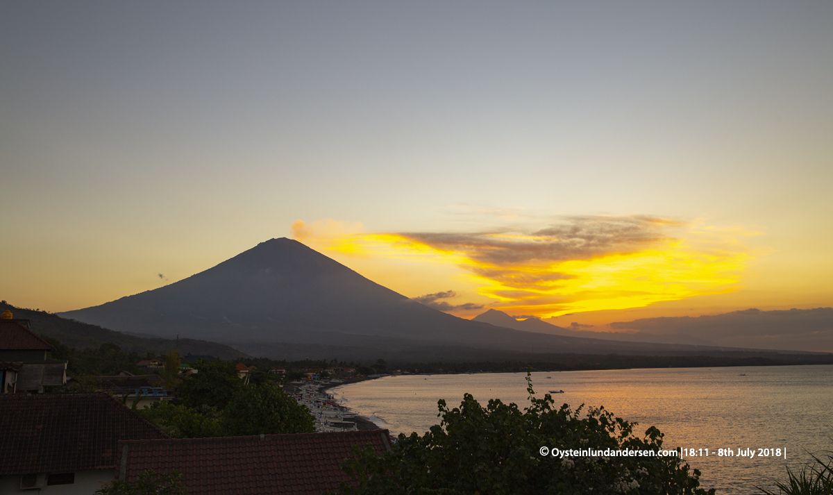
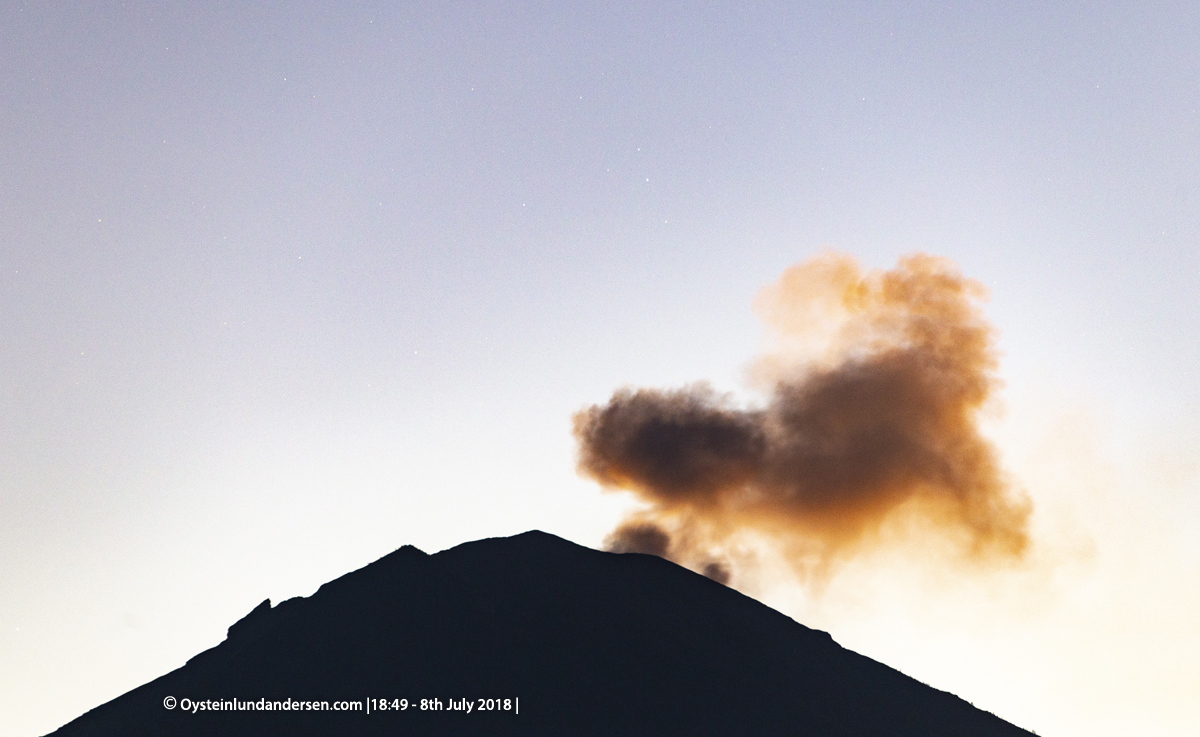
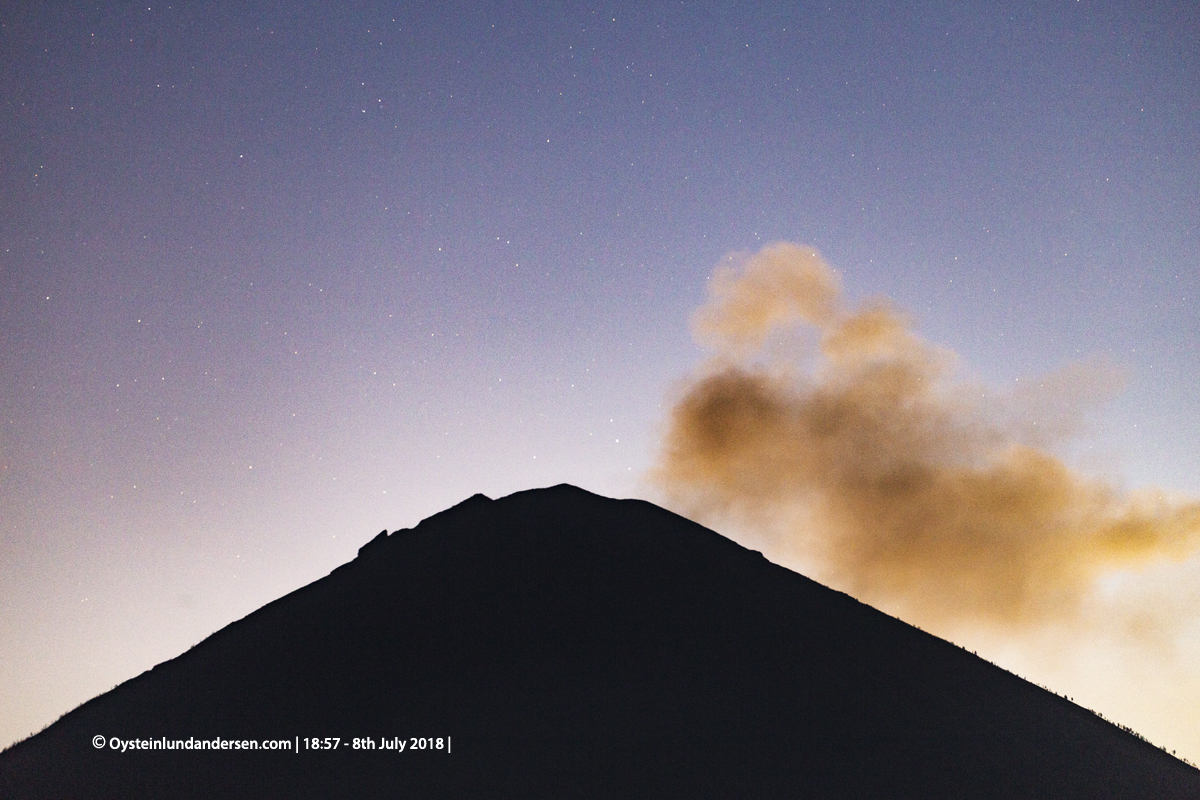
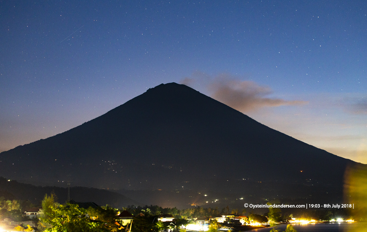
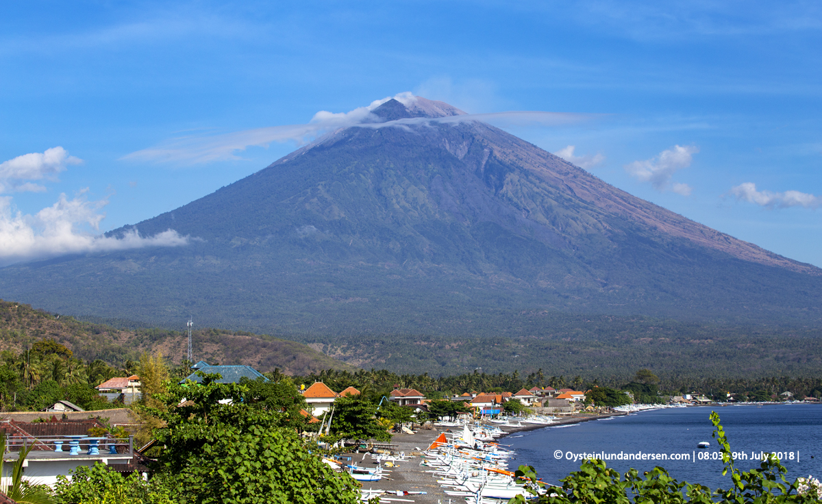
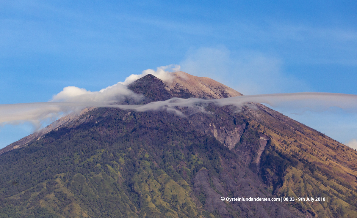
During my visit to the area, 6-9th July. I witnessed several eruptive events, with around half of these being ash-rich eruptions and the other half white/grey plumes. All the eruptive events were discreet single events, with no eruptions with sustained eruption plumes observed. All the ash-rich eruptions were accompanied by sharp spikes in seismicity in the online Agung seismogram, made available for the public by Indonesian authorities (open it here) (See example: seismicity at during eruption at 12:50 local time 6th July (seismogram here), eruption photo no.4). Some but not all “eruptions” of white-whitegray/gas plumes were accompanied by spikes in seismicity, the spikes however if present were weaker than the ash-producing events. (see example: seismicity at during eruption at 15:00 local time 7th July (seismogram here), eruption photo no.15 below). It should be noted that the Indonesians tend to name these events “hembusan”, and it could be translated into”degassing plumes”. However at least some of these “degassing” events looked like explosive events (gas bursts or weak strombolian activity?) Eruptions during the night often resulted in lava glow from the crater area, altough weak and lasting only few seconds to minutes (see for example photo no.10). I observed lava bombs and material being ejected out of the summit crater at one (or possibly two) occasions, first one during the eruption of 6th July 12:50 local time, material being ejected out on the upper N/E flank (See video here). Second occasion was a eruption at around 10:14 local time 8th July. From the video I captured it seems like a lava-bomb may have ignited a forest-fire, quite far below the summit. (See video here. Eruption at 14:46min into the video, and forest fire is visible in the mid-lower frame of the video at 16:10) There were also naturally periods of more ordinary degassing activity observed (see for example photo: 17, 24, 31), and periods of what appeared visually as calm with no emissions.
As of 11th July, Indonesian Authorities have a restriction zone of 4km radius from the summit of the Agung volcano, as the status is still Level 3.
Important Note: This is my personal notes, and should not be considered as official information regarding the volcano or its activity. For updated information and official statements on the volcanic activity of Agung Volcano, visit the Indonesian authorities website MAGMA Indonesia. or on Twitter (@id_magma and @vulkanologi_mbg)
____________________
Total photos in this article: 31. (Available in Jpg/Raw.)
Photos and Videos published are available for purchase. If you want to purchase photos or videos, please see this page
____________________







Videos